Commentary: The Wallowa-Whitman Forest Travel Management Plan: What’s it all about?
Published 5:00 pm Wednesday, September 23, 2009
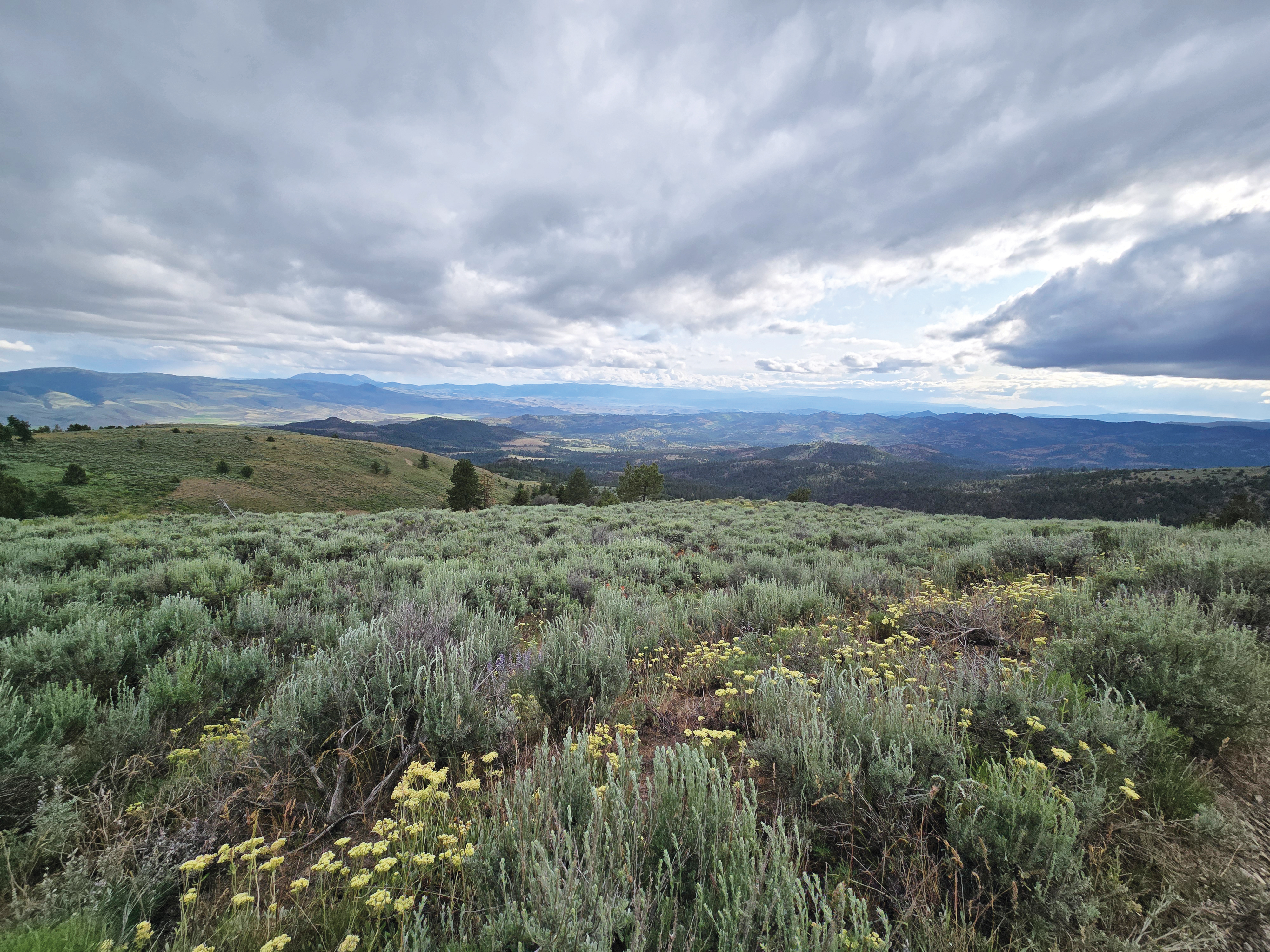
The 2.3 million-acre Wallowa-Whitman National Forest holds the dubious title of being the third most roaded National Forest in the nation with 9,111 total miles of roads. That equals the distance of 21 round trips between La Grande and Portland. This is even more amazing when you consider that nearly all of these roads are outside of the Wilderness and Roadless Areas. A good comparison can be made with Idaho’s Payette National Forest, which also spans 2.3 million acres and includes similar topography ranging from Hells Canyon to 9,000-foot peaks. The Payette had 2,955 total miles of roads pre-Travel Planning. The Payette recently completed its Travel Planning process, which culminated in the identification of 2,270 miles of motorized routes and 520 miles of non-motorized routes for recreational use.
So why are there so many more miles of roads on the Wallowa-Whitman? In the early 1900s, roads were built along streams and rivers primarily for mining operations. In the 1950s and ’60s, as more wood and minerals were extracted, roads were located on mid-slopes and ridge tops. The majority of the road system was built in the 1970s and ’80s for intensive timber harvest. The eventual result was damaged watersheds roaded from drainage to ridge top. Oregon was hit heavily by extractive industries. The first- and second-most roaded national forests in the nation are also in Oregon.
The Wallowa-Whitman National Forest currently has 1,806 miles of designated roads and OHV trails inside riparian areas alone. That’s 80 percent of the roads that the Payette National Forest has across all 2.3 million acres. One motorized stream crossing can do a lot of damage to water quality, yet the Wallowa-Whitman currently has 13,597 total road and OHV trail stream crossings! The survival of salmon, steelhead and bull trout are jeopardized by the excessive number of roads in riparian areas and stream crossings.
Right now, elk populations are on a downward trend and elk are moving onto private land, causing chronic problems for wildlife managers, ranchers and hunters. Road densities on the Wallowa-Whitman routinely exceed 2.5 miles per square mile of land, a threshold above which elk do poorly. A key indicator for elk security is the total percent of habitat in the project area greater than one-half mile from a road. Right now, 89 percent of the project area qualifies as within the “poor quality security area” (less than one-half mile from a road). For other key national forest resources, such as old-growth forests, snags and fisheries, the situation is similar. With numerous routes going to the same place, the current road system provides a level of access that is causing widespread damage to our national forest.
What the Travel Management Plan is really about is determining what we are going to find on our national forests once we get there. Are we going to find native plant communities or invasive weeds spreading via roads and vehicles? Are we going to find elk or will there be frustrated hunters and disappointed wildlife viewers? Will there be good birdwatching opportunities or persistent motorized engines frightening birds away? Will we find pristine creeks with healthy fisheries or motorized routes ripping through fragile riparian areas and stream crossings, bleeding sediment into the waters?
The moccasin, the boot and the horse’s hoof have trod this incredible region for centuries, existing in relative harmony with resource objectives. Motorized access to our national forests should also be in harmony with protection of resources, or we all lose. We simply do not need multiple routes going to the same place. Of the current alternatives, No. 6 would clearly best protect the incredible Wallowa-Whitman National Forest while maintaining reasonable access to everywhere. Your chance to let the Forest Service know how you feel about where motor vehicles should be allowed on the incredible WWNF extends through Sept. 17.
David Mildrexler is ecosystem protection coordinator of the Hells Canyon Preservation Council in La Grande and a resident of Joseph.